Bible Cartoon: Luke 07 - Jesus raises a widow’s son - Scene 01 - Approaching Nain
Click on Add to cart button below shopping cart.
Purchased Bible Cartoons do not have watermarks. Links to Cartoons provided on email once purchase is completed.Bible Book: Luke
Bible Book Code: 4200701101
Scene no: 1 of 2
Bible Reference & Cartoon Description
Luke 7:11 (ANIV)
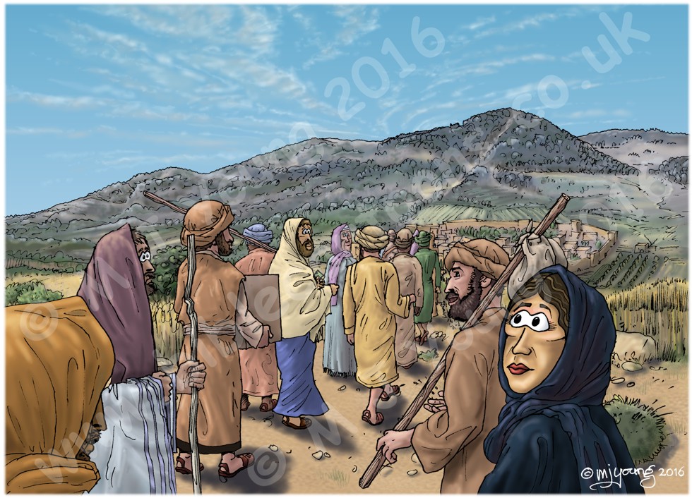
Soon afterwards, Jesus went to a town called Nain, and his disciples and a large crowd went along with him.
DRAWING NOTES:
TIME OF DAY:
Unspecified in Bible text, I have drawn this scene in the late morning.
LIGHTING NOTES:
The figures in the scene are walking from the north towards the town of Nain, in the south. Therefore the sun (which rises in the east) is high, on the left of the scene. Cast shadows are falling to the right of the figures & objects.
CHARACTERS PRESENT:
There is a crowd of people walking towards the town of Nain in this scene. Jesus the Christ is in his usual blue outer robe, also wearing a light coloured head scarf. Mary Magdalene is the woman in the right foreground. No doubt the 12 apostles/disciples would have been with Jesus as well, but we can not see anyone else’s face clearly enough to see who is who!
RESEARCH/ADDITIONAL NOTES:
Luke 7:1 informs us that Jesus had been in Capernaum, which is on the northern shore of the Sea of Galilee (aka Lake Kinneret). Then he & his disciples travelled south west into the Jezreel valley, which is where the town of Nain was situated (see map below).
Here is the scene without the figures.
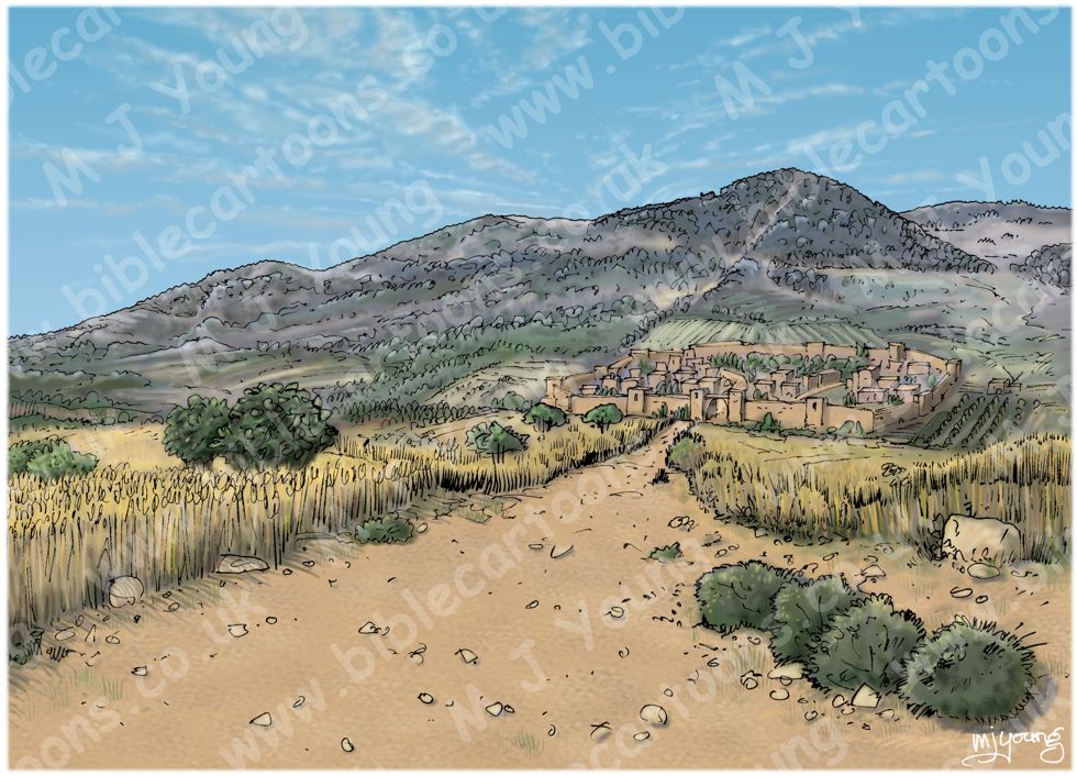
Background of Luke 07 – Jesus raises a widow’s son – Scene 01 – Approaching Nain
Click on the colour bar below to view/buy this Background:
Background of Luke 07 – Jesus raises a widow’s son – Scene 01 – Approaching Nain
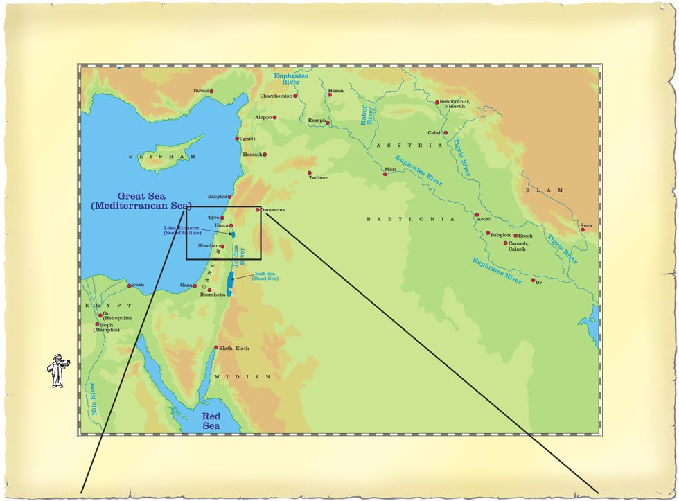
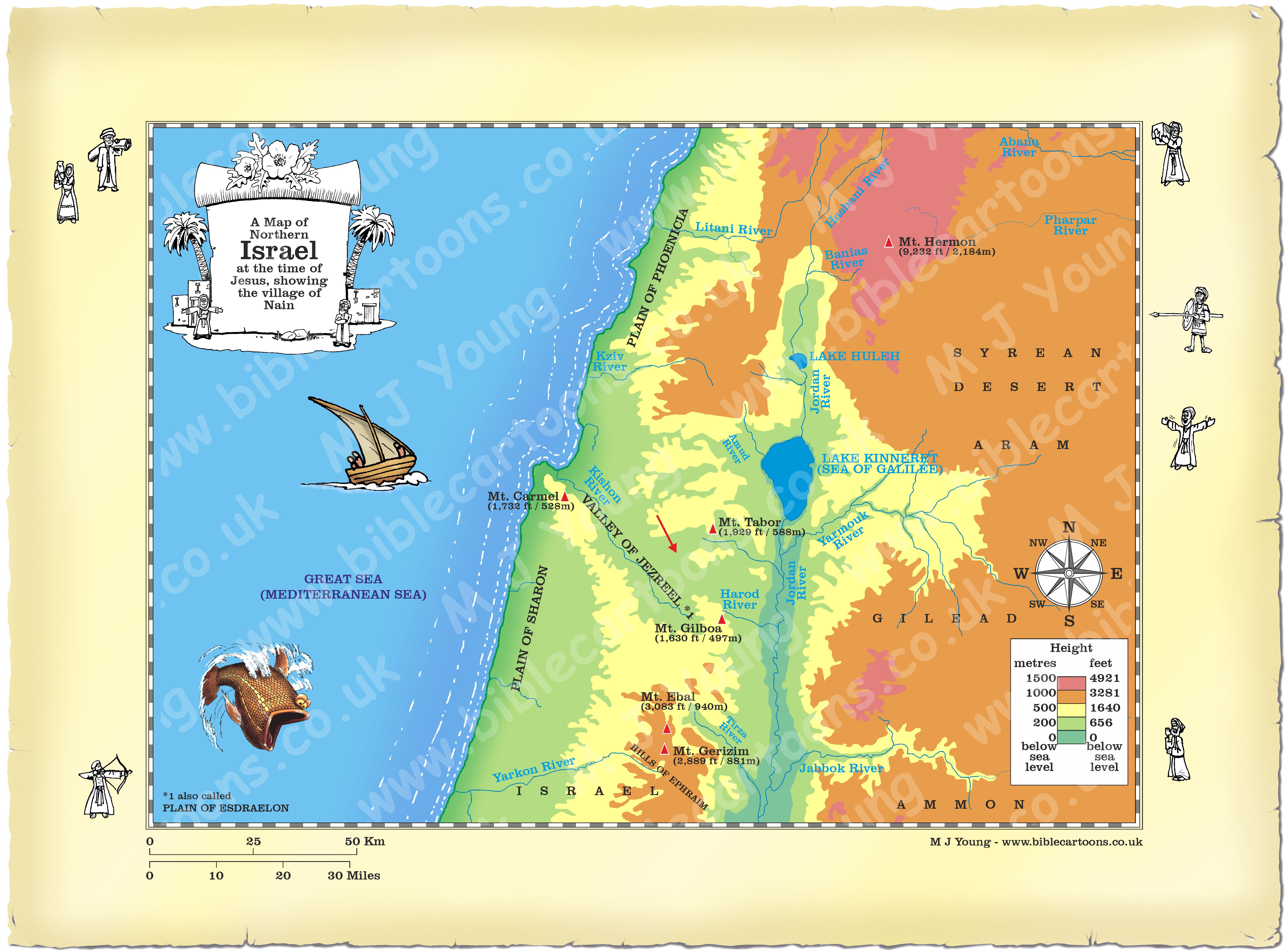 Map of Northern Israel showing Nain
Link to related Map
Click colour bar below to see Map of Bethel with purchase option:
View/Buy this map
Geology of Nain area.
Looking at the geological map of where Nain was located reveals a small area of “Conglomerate units, undifferentiated (Basalt, Basanite)”. Basalt is a dark, fine-grained igneous rock, associated with lava flows (extrusive) &/or dykes & sills (intrusive features).
The problem came when I looked at photographs of Nain (I couldn’t find any that showed the ground, unfortunately!) & the hill of Moreh behind it. They seemed to indicate light coloured rocks, most probably limestone! And the geological map confirmed this deduction “Timrat Formation Meroz & Yizre’el Formations (Limestone, chalk, chert 350 m)”.
I noticed in a photo’ of a church in Nain that it also appears to be built of limestone, so in the end I opted to draw my walls in limestone colours: yellows, greys, greens, etc.
The tallest hill, in the background is the Hill of Moreh (limestone!), at the foot of which the Midianites and Amalekites were encamped before Gideon’s attack upon them (see Judges chp 07).
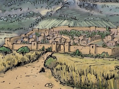
Close up of the town of Nain
